Map of Mallorca
Map of Mallorca
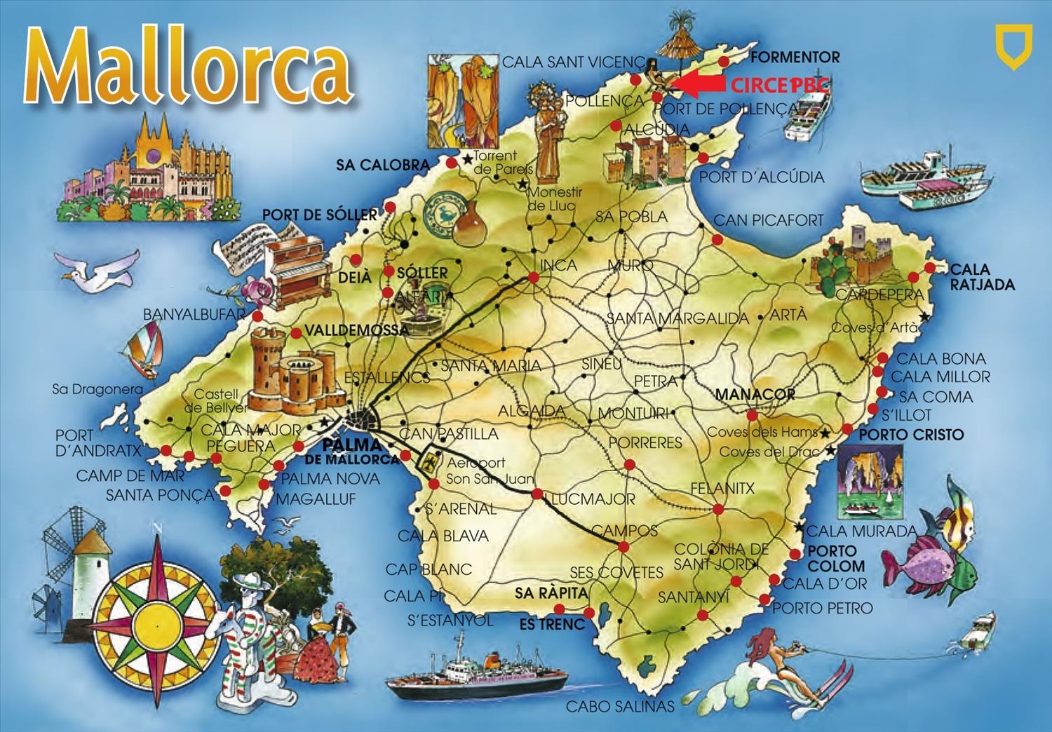
The map below gives the major towns and regions of Mallorca. The island is about 100km North-South, and 70km East-West, with over 550km of coastline. There are 6 main regions on the island, each with their own culture, character and charm [see THINGS TO DO]
It is 64 km (40mi) by road from Palma Airport, taking about 50 minutes on the Ma-30 and Ma-13 motorways (see LOCATION). There is also a regular bus and train service from Palma.